First in the Czech Republic: The D4 highway’s digital twin comes to life with ViiDA from VARS
News
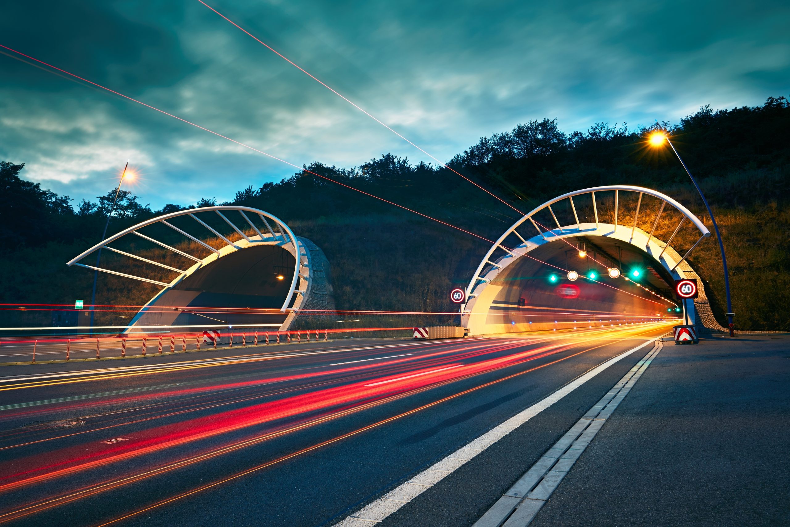
The longest open section in Czech history. The first motorway built in cooperation with a private investor. The newly completed D4 motorway to Písek now adds another “first” to its achievements: it is the first motorway project in the Czech Republic to feature a complete BIM model.
News
04 February 2025The longest open section in Czech history. The first motorway built in cooperation with a private investor. The newly completed D4 motorway to Písek now adds another “first” to its achievements: it is the first motorway project in the Czech Republic to feature a complete BIM model. “Our platform, ViiDA, brings this model to life, creating a digital twin of the motorway that always contains up-to-date information about its condition,” explains David Novák, Technical Director of VARS BRNO.
What makes the D4 motorway unique from a BIM perspective?
It is the first transport project in the Czech Republic to have a comprehensive BIM model. The key aspect is that this model must be kept current throughout the entire 25-year management period. This creates a resource that supports maintenance and serves as the “single point of truth.”
So VARS is not the creator of the model but rather the system for managing the motorway?
That’s correct. Our system consists of two parts. The first is the asset register, which acts as a repository capable of extracting data from the BIM model and expanding it with additional information needed by the operational maintenance team. The second part is process-based—it tracks processes such as inspections, maintenance, and repairs associated with these elements. This is the essence of a digital twin.
How does the relationship between a BIM model and a digital twin work?
A BIM model is an accurate digital representation of the construction but, on its own, it remains “static.” To create a digital twin, the model must be “brought to life” by integrating current data and operational processes.
Is the system used internally by Via Salis or is it public?
The system is primarily designed to assist Via Salis with day-to-day maintenance, planning, and operational tasks. This level includes various internal functions, such as resource allocation and material availability monitoring. Information that impacts asset conditions is then updated in the BIM data repository, accessible to the client, which in this case is the Ministry of Transport.
Will a regular driver notice the existence of this digital twin beneath the motorway?
Our system is connected to the ITS Scada system, and they exchange information. For example, if guardrail repairs are planned, Scada knows about this event through our system and responds by closing a lane. Conversely, if an accident damages a guardrail, the system automatically triggers a repair process.
How does this system change the work of field workers?
It was crucial for Via Salis that field maintenance could be precisely localized. Workers are expected to be equipped with outdoor tablets linked to highly accurate external GPS antennas, capable of pinpointing faults—such as damaged guardrails—with precision within less than ten centimeters.
How would a typical day for a worker look on this type of road?
The worker would use a simplified mobile client on a device, likely a tablet, with a user-friendly interface. The manager would prepare a task list or “campaign” in the system, such as inspecting cameras on a specific motorway section. If the worker identifies an issue, they mark it in the tablet, which automatically initiates the repair process—ordering parts, scheduling repairs, and setting a completion deadline.
Is this the future of road management?
Yes, the future is mapped out on the D4 motorway. Unfortunately, not all roads have models of this scale, particularly older constructions. We are entering a transitional period where new projects will feature BIM models that can be imported for maintenance, but BIM coverage will not be universal.
Why should investors want a BIM model and base maintenance on it?
The main advantage is that no information is lost throughout the entire lifecycle of the infrastructure. The BIM project documentation incorporates real-time data during construction, as well as information from maintenance and repairs. This includes details about the conditions under which tasks were performed, such as the temperature during concrete pouring. Thanks to BIM principles, this information is accessible to anyone who needs it.
Why is this worth doing?
Without this information, gathering it can be costly. If you don’t know how a road was built, you often have to conduct diagnostics using invasive methods like drilling and laboratory analysis. When this information is already available, it results in significant cost savings. Repairs can be planned based on precise data rather than assumptions, affecting decisions such as the choice of maintenance technology. Ultimately, this leads to major savings in maintenance costs.
How has the system for Via Salis transformed ViiDA as a product?
Initially, ViiDA handled asset records and simple processes. The challenge was to extend it to more complex processes, involving process chains, groups of processes, and their relationships.
So what is ViiDA today?
It is primarily a development platform that can communicate with BIM models and manage asset records and processes around them. We are planning further projects on this platform and see significant future potential in it.
Lastly, what does ViiDA mean?
It’s a wordplay combining the Roman numeral VII, representing the seventh dimension of BIM—facility management—with DA, an abbreviation for Digital Assets. The lowercase “i”s visually resemble twins, in this case, digital ones.

NEWS, NOVINKA