- en
- cs
Elektronické plavební mapy

ČESKÁ REPUBLIKA
Digital nautical charts
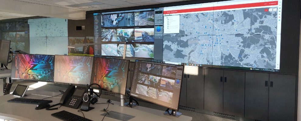
Digital nautical charts are a service provided by the State Navigation Administration (Státní plavební správa) and the Waterways Directorate of the Czech Republic (Ředitelství vodních cest), which brings the most modern form of interactive data transmission for inland navigation.
VARS BRNO is the general contractor of the entire production line based on GIS technology. This line includes the entire process, from processing data from the State Navigation Administration database to creating an inland electronic navigation map according to the international standard.
These charts are further used in on-board charting and navigation systems. The resulting electronic chart is interactive and can be linked to other active systems, such as messages to skippers, information from signal stations, bridge lifting or the position of nearby vessels. The map also includes detailed depth information for the section between the state border with Germany in Hřensko to the lock in Střekov.
The entire nautical map then covers the RIS (River Information Services) area; in the Czech Republic, this is the section of the Labe from the state border to Přelouč and the section of the Vltava from the confluence with Labe to the Slapy reservoir. In addition to development, VARS BRNO also provides maintenance and updating of the system based on a service contract.
Project in numbers
Take a look at exciting data about the digital nautical charts
-

91.5 km
of monitored Vltava River flow
-

125.6 km
of the monitored Labe River
-

38
sheets of nautical chart
Have you seen this projects?


Správa infrastruktury


